
This module
describes the knowledge, skills and attitude required to Conduct route
topography.
At the end of this module, the students will be able to analyse the topographic graphic data of
an area, process them in accordance with a road geometric design standard to create
alignment, produce cross section details and provide adequate sight distances for proper
traffic mobility and safety.
- Teacher: mbabazi Pacifique Emmanuel
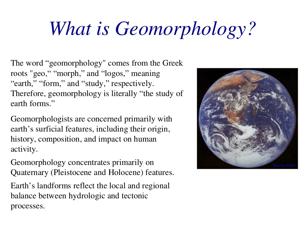
This course focuses on the origin/evolution of landforms and the physical processes responsible for their creation and modification.
❑
The course is structured to begin with the big picture view of geomorphology (whole-earth shape and the large-scale details of the continents and ocean basins), then move on to the tectonic construction of landscapes, thermally-driven processes including
glacial/periglacial systems,
transport
of material
through fluvial and hillslope systems, sediment
entrainment and deposition, and landscapes at the coastal/marine interface
- Teacher: mbabazi Pacifique Emmanuel