
This module is designed to provide undergraduate students with the
essential knowledge and skills necessary for conducting effective
research. It comprehensively addresses the entire research process,
from problem identification and formulation through data collection,
elaboration of relevant methodology, data analysis and writing an
academic reports, laying a solid foundation for their independent
research projects. By the end of this module, students will be well
equipped to navigate the complexities of research and apply their
learning to real-world research endeavors.
- Teacher: Mujawimana VIOLETTE
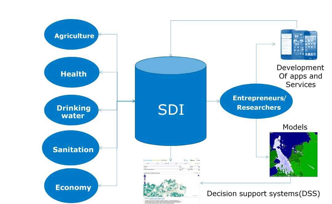
This course introduces to students the concepts of Spatial Data Infrastructure (SDI), with specific emphasis on policy, financial, stakeholders and standards related issues. The aim of this course is to help a student to come up with skills of creating a GIS system that include digital geospatial resources, hardware, software, people, organizations, standards, policies, and many others to function properly.
- Teacher: Marie Grace MUTIMUCYEYE
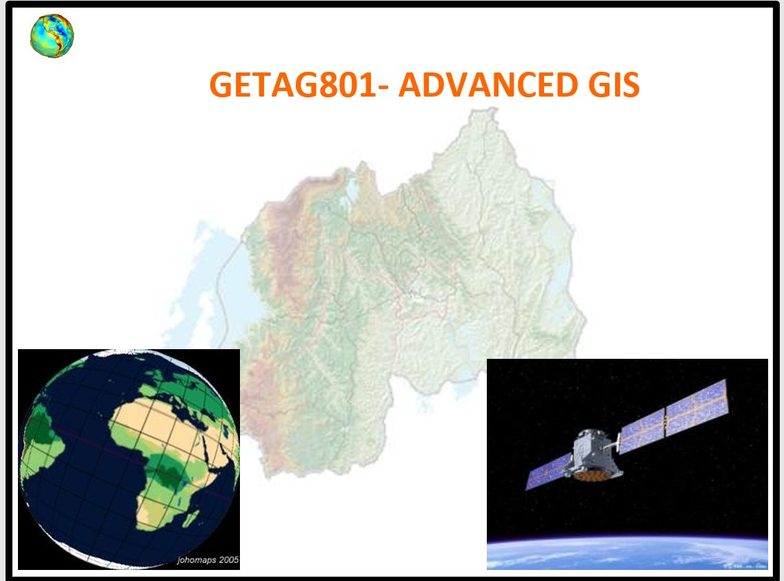
This module aims to provide the skills, knowledge and attitude required to apply advanced GIS. It provides enterprise geodatabase Design, development, and maintenance. It also provides the use of Spatial Analysis techniques and Explore Advanced Spatial Dimensions.
- Teacher: Marie Grace MUTIMUCYEYE

The Engineering Project in Geomatics Technology provides an in-depth guide on
creating a comprehensive estimate and budget for the project. It is systematically divided into
four main sections, each covering crucial aspects of the process.
- Teacher: Pierre Anthyme BAHATI
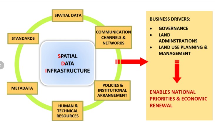
At the end of the module students will be able to identify data sharing, standards and policies, to develop geospatial data infrastructure and maintain geospatial data infrastructure. In short, students completing this course should be able to explain, apply, and critically evaluate SDI concepts and tools for solving real-world spatial data challenges.
- Teacher: Jean Marie Vianney NIYONZIMA
This module aims to provide the skills, knowledge, and attitude required to Apply Python Programming to Geospatial data. It Describes Python Fundamentals, Python data structure, Connect Python to Geospatial database, and Apply Python to remote sensing data.
- Teacher: Maurice NTEZIRIZAZA
This module is designed to provide undergraduate students with the essential knowledge and skills necessary for conducting effective research. It comprehensively addresses the entire research process, from problem formulation through data collection, analysis and writing an academic reports, laying a solid foundation for their independent research projects. By the end of this module, students will be well-equipped to navigate the complexities of research and apply their learning to real-world research endeavors.
- Teacher: Assiel Mugabe